This post builds on the previous one where-in we arrived at Rudranath after a long day’s hike from Sagar village (click here for the trek to Rudranath). It was now time to make the return journey albeit via a different route.
We were made aware of this new route (which connects Rudranath with Mandal village) by our guide the previous day. And Mandal and Sagar (the start-point of our trek the previous day) are linked to each other via a motorable road.
Our mobile phone alarm unleashed a screeching tone unsettling our dreams. When you are fatigued, the ensuing sleep is usually intense, and you are soon transported into an imaginary world. And when this trance state is abruptly disrupted, you either present yourself in a condescending manner or just slip back under your blanket to find solace back into your dreams.
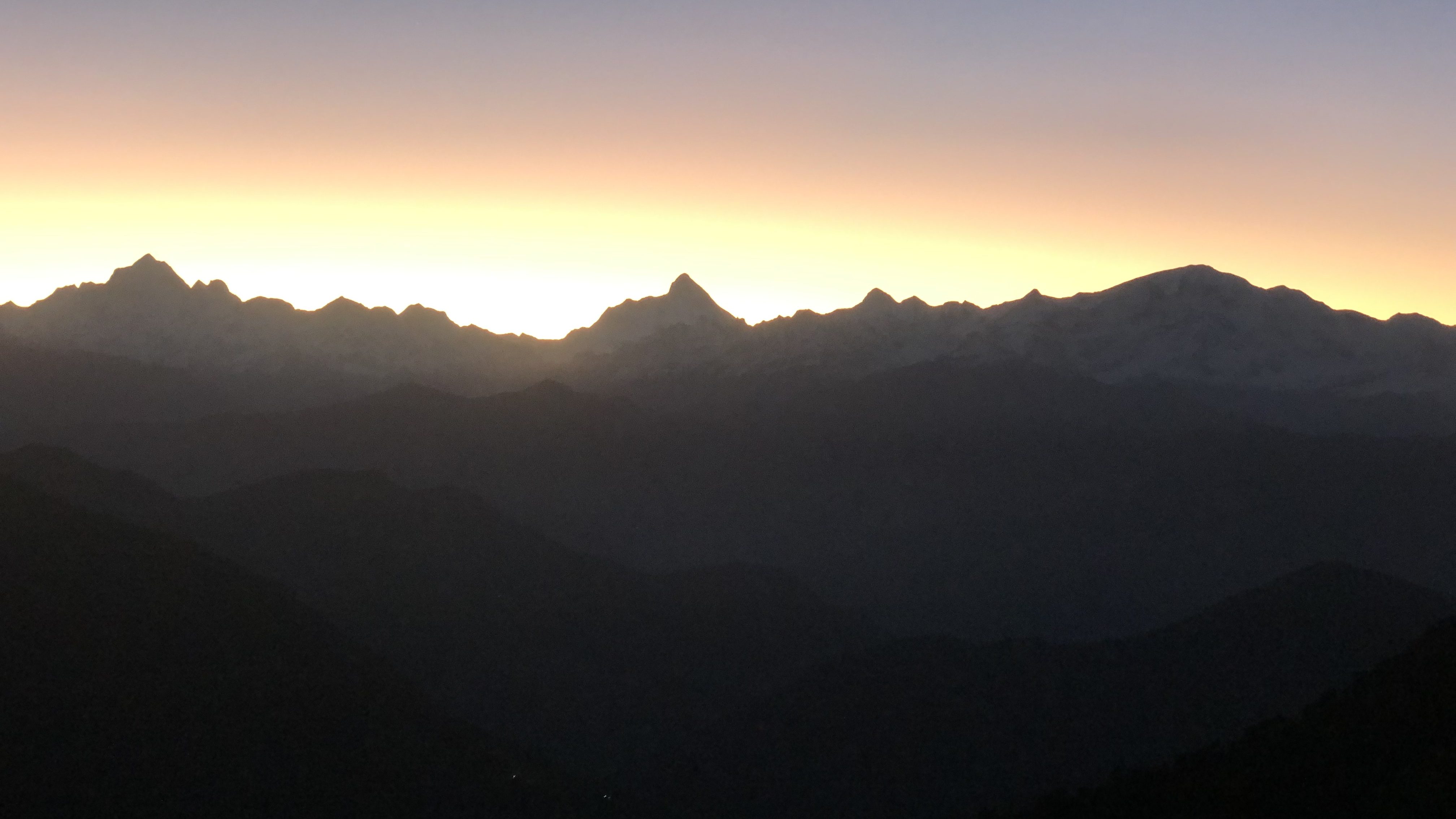
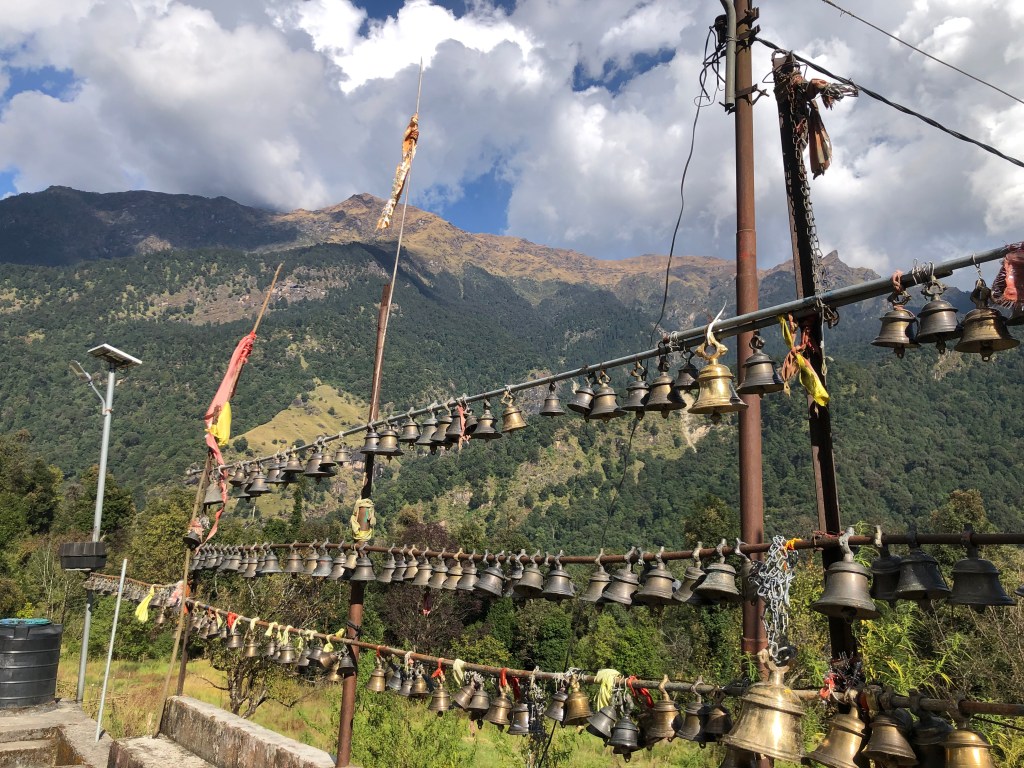
With all this quandary and back and forth between the real and un-real world, we finally, at 5 AM, took the difficult call to emerge out of our comfortable and warm sleeping bags. Yet another long day of walk awaited us. Once ready, we headed straight to the Rudranath temple which looked magnificent and surreal with the pristine white of the Himalayas behind it forming a perfect backdrop.
The sun was still buried behind the mountains, though it rays making all the efforts to penetrate through the edges, spreading its warmth across. It was still a cold morning beneath the blue and clear sky.
What to know about this new route between Rudranath and Mandal.
- The route is not well laid-out and is mainly used by the residents of Mandal village for travelling to Rudranath
- The route doesn’t have any wayside amenities barring at 1-2 places
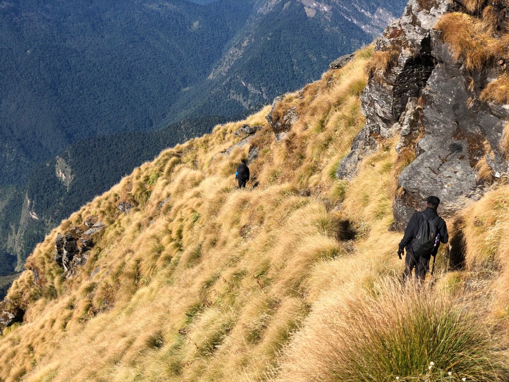
- The incline (or decline) is steep, and the path is treacherous at many places
- The route passes through forested area and given no signs of any human settlements here, the area is infested with wild animals including bears and deer
- Water sources on the route are limited
- Trek distance between Rudranath and Mandal is approx. 21 kms.
Note – We were accompanied by a seasoned local guide who knew the area well and that we were descending through this route. Without the guide or if it was an ascent, this path may not have crossed our minds. Caution for anyone considering this route.
1st leg: Rudranath to Panch Ganga top | 4 – 4.5 kms | moderate to difficult
- Rudranath to Panch Ganga – 4 kms
- Panch Ganga to Panch Ganga Top – 0.5 kms
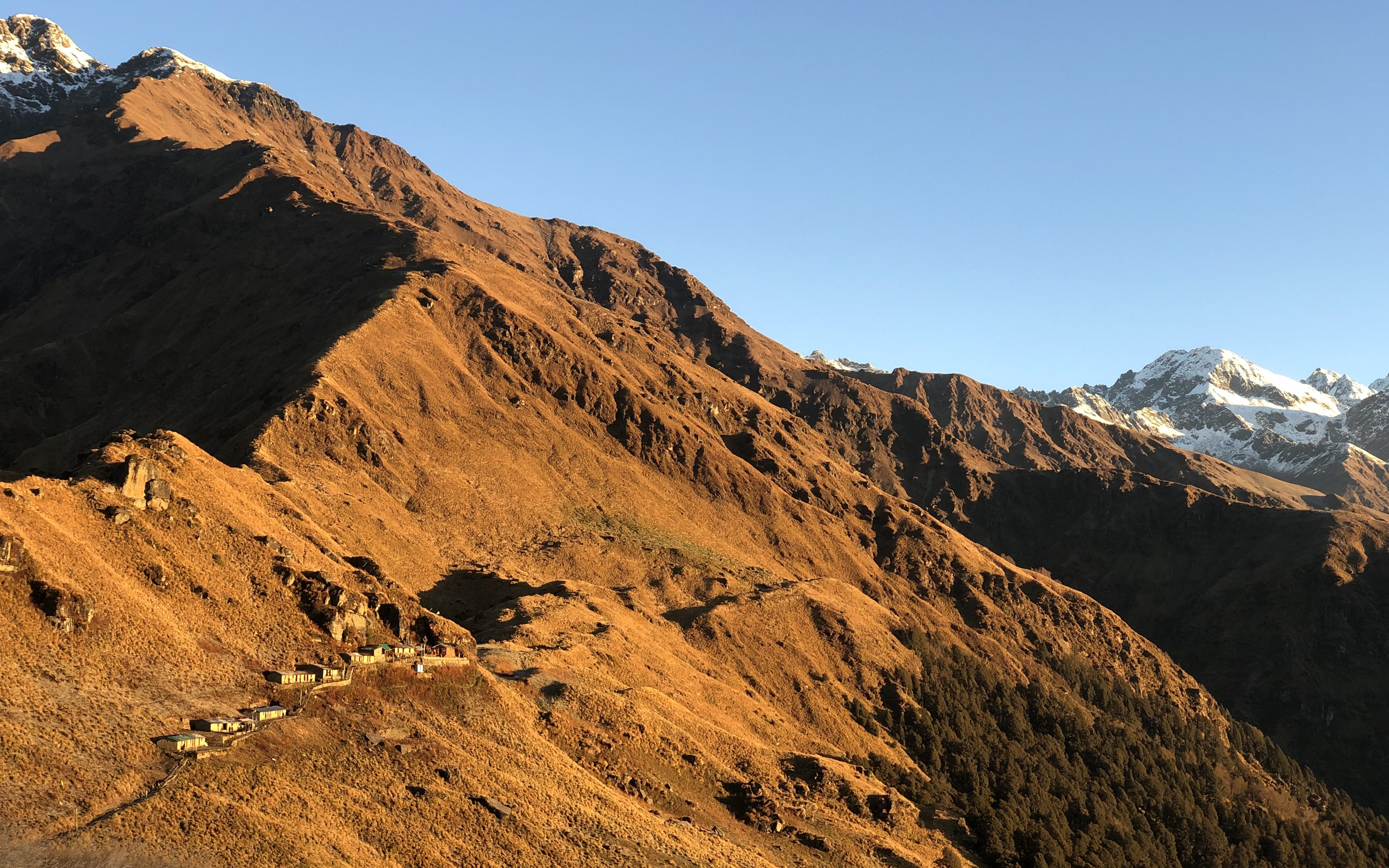
This leg follows the trail that we had attempted the previous day. However, the fresh and bright sun rays were now thrusting themselves, bringing the wilderness around us to life. Whether it be the green of the trees or the brown of the alpine bushes, the colours were vivid and intense under the influence of the rising sun.
As we turned around to give Rudranath, in the far distance, one final glance, it looked magical as if trying to convey that we may spend another day in its lap. With our shoulders squared, head straight and hands folded, we sought the blessings of Lord Shiva one last time.

We filled our water bottles at Panch Ganga and then took the detour (a small trail) that snakes to the top of the hill (also called the Panch Ganga top). The views from here (altitude 3,800 meters) were breath-taking. We took a quick halt here, nibbled on a protein bar, captured the nature around us on our cameras and gathered back the energy to make the final and long push down the hill, all the way down to the base of the mountain until Mandal (no more climbing up).

2nd leg: Panch Ganga top to Hans Bugyal | 3 – 4 kms | moderate to difficult

A steep descent through the stony path with thick bushes around us. Mandal was clearly visible to us in the valley below and we never lost sight of it except when our path navigated through the thick forests.

We saw hordes of barking deer on the other hill, who were quite vigilant with our presence and ran helter-skelter even with a muffled sound.
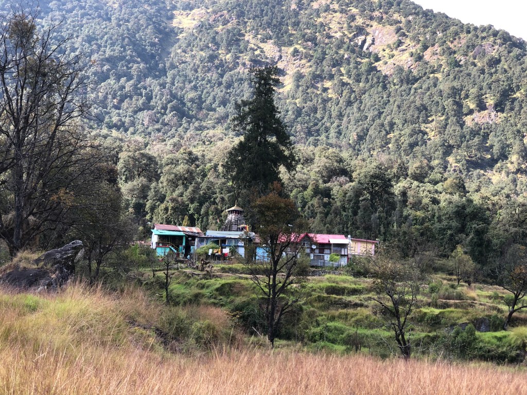
2 hours into the descent, we arrived at Hans Bugyal where a lone temporary structure existed. A young man of about twenty-five was surprised to see us, the first travelers for him that day. We rested a while, sipped a cup of hot tea, and gulped down some noodles.
3rd leg: Hans Bugyal to Kandei | 4 kms | moderate to difficult
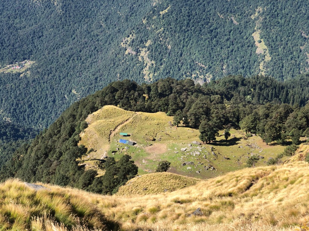
This is another steep descent, and a part of this leg navigates through a thick forested area of Oak, Pine and Bamboo. There is absolutely zero trace of human settlement here and therefore a perfect abode for wild animals. We were lucky not to have met any of those.
Kandei consists of only 2 temporary structures and one family. We did not stop here and continued with our descent until we hit the river (Amrit Ganga) at the base of the hill from where we crossed over to the other side using a concrete bridge.
4th leg: Kandei Bridge to Anusuya Devi Temple | 2.5 kms | easy to moderate
The bridge is about 0.5 kms ahead of Kandei and from the bridge the Anusuya Devi temple is another 2.5 kms of walk. This is a relatively easy walk compared to what we saw the previous day and until this point.
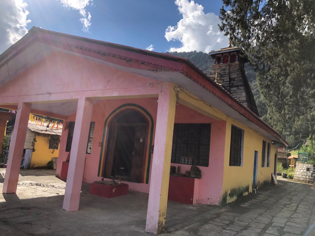
Anusuya Devi temple is dedicated to Goddess Sati. The temple here has a rich history and is revered by the people in the area. Anusuya Devi is the wife of Atri Muni, one of the great sages in the Hindu Mythology. A large fair takes place here in the month of December each year.
5th leg: Anusuya Devi Temple to Mandal | 5 kms | easy to moderate
On this entire trail, this was the only leg where we sighted a cluster of human beings. It was a steep descent until you hit the bridge from where it’s a flat walk until Mandal.
We were told that a motorable road between Mandal and Anusuya Devi temple has been sanctioned and work on it has already started.
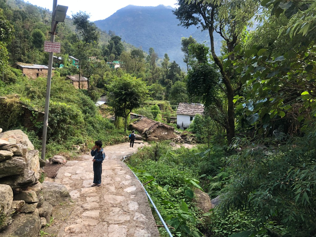
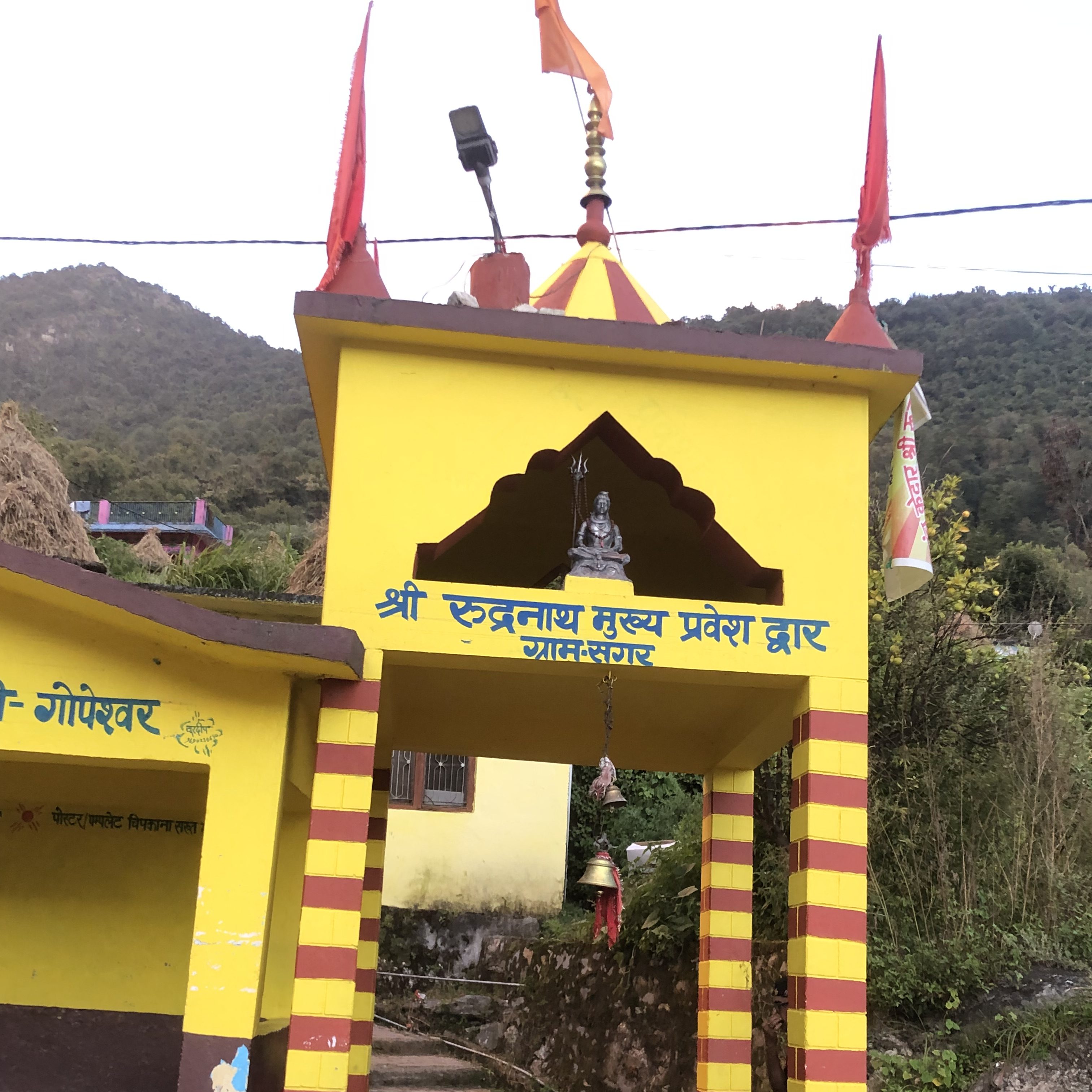
Mandal falls on the Gopeshwar – Chopta motorable road and is a large village by hill standards. Once we hit the road at Mandal, we hired a vehicle to drop us to Sagar which is about 10 kms from here. In 30 minutes, we were transported back to where it all began the day before.
I hope you enjoyed reading it.

This trek blossoms the soul. Did You walk it in late October ?
LikeLiked by 1 person
Yes , it was around 3rd week of October. It’s surely a magical and divine place.
LikeLiked by 1 person