
Rudraprayag, one of the 13 districts in Uttarakhand, is a blessed land as its home to the renowned Kedarnath temple, which attracts millions of worshippers each year. For me, Rudraprayag is special. As someone who enjoys hiking in the mountains, this district spoils me with options. The towering cliffs, the gushing waters of numerous river streams, the lush greenery, grassy and soft turf of the rolling meadows, and the mighty Himalayas, particularly the four-cornered Chaukhamba peak that appears from almost every nook and corner of the Rudraprayag district, as if conveying who is the boss here, overseeing the happenings of the life below.
Last month, towards the end of June, I had a weekend window during which I wanted to do a short hike. I wanted to drive further away from Dehradun, into the heart of the high mountains, into the thick of this beautiful Devbhoomi, the land of Gods.
Chirbatiya | where is it located
The word” Chirbatiya” literally translates to “four pathways or four lanes”. Some people also say it means “path through the pine trees”. Chirbatiya is located at the border of the Rudraprayag and Tehri districts, within the Jakholi block of Rudraprayag. The area is heavily forested with tall mountains dotting the landscape.
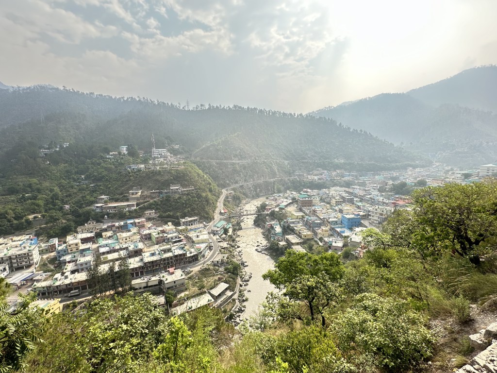
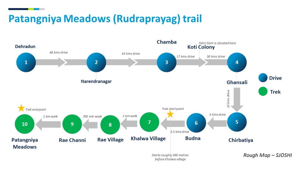
We set off early in the morning from Dehradun and, after passing through Narendranagar, Chamba and Koti Colony (Tehri Dam), we entered the Bhilangna valley and drove to Ghansali. Chirbatiya town is roughly 29 kms ahead of Ghansali on the main highway that leads to Tilwara and onwards to Kedarnath.
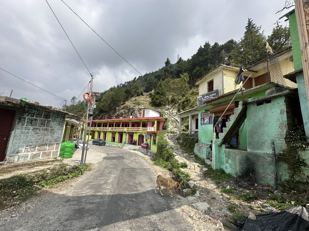
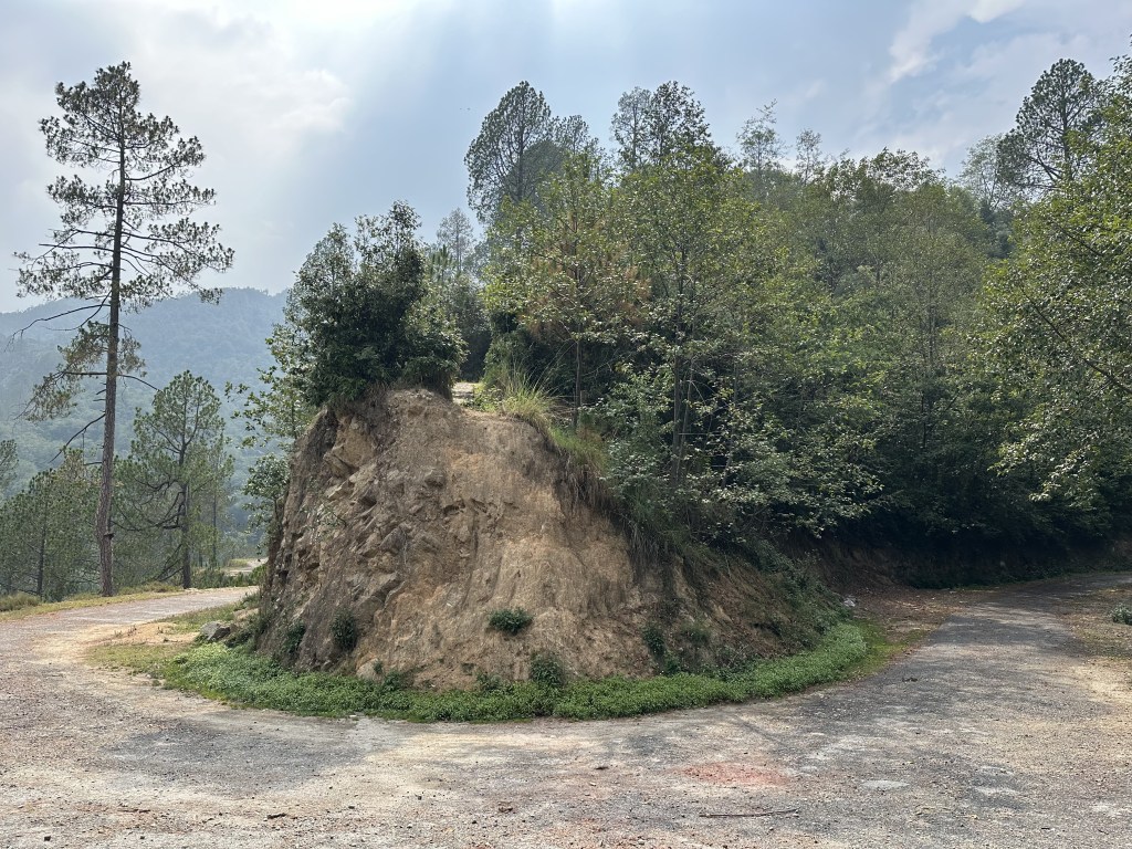
After taking a brief pause at Chirbatiya, where we met our guide Sandeep, we continued to drive ahead. The clouds had then just gathered above, obscuring the sun that had been beating down on us. We drove further until we crossed a small hamlet called Budna. Our guide belonged to this village and ran a small shack here when he wasn’t hiking. Just beyond Budna, a narrow, somewhat rough and broken but drivable path diverged from the main road. This path leads to Pala Kurali village (roughly 6.5 kms further). When travelling to the mountains, one thing is quite evident: no matter where the village is, road connectivity projects are progressing at an amazing pace, ensuring every village is connected. We scrambled along this not-so-well paved road until about 3 kms. Somewhere along the way, with no settlements in sight, our guide asked us to park our vehicle. From this seemingly remote spot, in the middle of a dense Chir Pine forest, we commenced our trek to Patangniya Meadows.

About Patangniya Meadows

Patangniya bugyal or meadows is a vast open grassland covering a substantial area. Unfortunately, the day we hiked was cloudy, obscuring the views. Otherwise, we would have enjoyed a 180-degree panorama of the Garhwal Himalayas, with mountains stretching as far as the eyes could see.
It’s a 3-kilometer ( 1.5 hours) uphill walk from the point where we parked our vehicle, just below Khalwa village. About 300 meters into the walk, we encountered the scattered houses of the village. What particularly drew our attention was the meticulously cultivated land with various fruits and vegetables growing along the slopes. We observed apple orchards, Rajma, Jhingora, and more.

Our path took us through the farmland, and the area was buzzing with activity. Mostly women were busy in the fields, tilling the land and chatting among themselves. When they noticed us, clearly not locals we looked, their eyes followed us until we waved and started a conversation. Life is simple in these mountains; people are humble and polite, and they work incredibly hard to lead a modest life.

From Khalwa, the path grew steeper as we ascended enroute to Rai. The air turned heavy and cold, and the distant land below appeared as a tiny spectacle. We continued our march, gaining altitude and trudging through dense bushes towards Rai village and beyond. About 30 minutes into the hike, we reached Rai village, and another 20 minutes ahead, we arrived at Rai Channi, a temporary settlement. Some shepherds and their flock were gathered around a giant tree at the far end, with a water body at the center of the place.From here, one path lead to the Patangniya meadows while the other went to Pala Kurali village.

The path wasn’t a difficult one, however, we were now surrounded by a thick vegetation. The dried leaves produced a crunchy sound as they crushed under the influence of our heavy boots. The air was heavy, and we were sure that it would rain sooner. Once the forests cleared, we were at the top, at the meadows. The turf stretched far and away and the perfect silhouette of the Garhwal mountains was distinctly visible in every direction. It was cloudy above, else, we would have witnessed a spectacular view of the Garhwal Himalayas, perhaps an endless expanse of these magical snow-covered mountains.

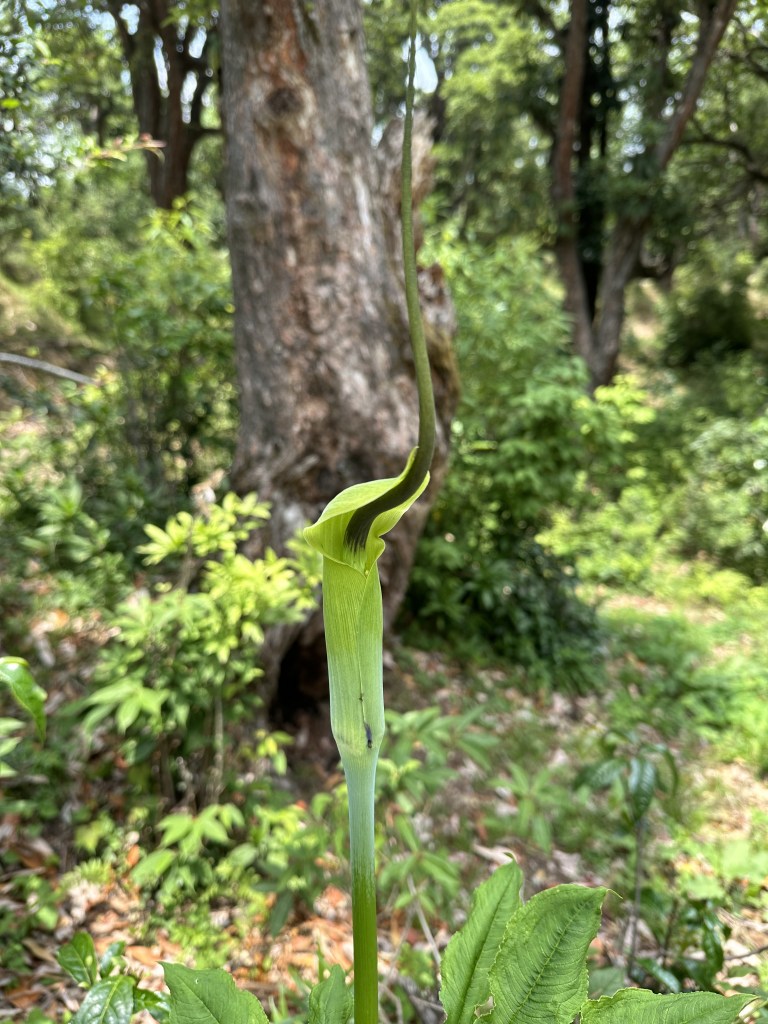
We spent some time absorbing what the nature had to offer. There was no one else around. The air moved gently, creating a soft murmur, while above us, the thunder grew louder, signalling the impending downpour. As I walked on the soft green terrain, it was fascinating to discover a wide variety of mountain flowers, easy to overlook due to their tiny size, but appeared exotic upon closer observation.

After spending about half an hour, we descended down the mountains. Our ponchos were out now, as we battled our way through the rain that was pattering down relentlessly. On our return journey, it took us about an hour to reach the point where we had parked our car.

And thus, a quick short hike in Rudraprayag district came to a conclusion. Below, I’ll share some important pointers for those interested in undertaking this trek.
| Chirbatiya Location on Google maps | https://maps.app.goo.gl/pHqLQwU4Qp2k829a9 Continue driving beyond Budna and take that small detour on your left |
| Guide Reference | Sandeep – 7668626996 (his mobile number) He is a local from Budna / Chirbatiya and knows these trails well |
| Driving time from Dehradun, other places around | Please have a look at the map I shared in the blog. It will be helpful for directions and to plan your itinerary well. |
| Where to stay | We stayed at the state Govt. run Garhwal Mandal Vikas Nigam (GMVN) run hotel at Jakholi. This property is roughly 13 kms ahead of Budna. Excellent budget property offering stunning views of the landscape around |

Very nice post. I will take my time going through your other posts.
Happy to see the details you put in.
LikeLiked by 1 person
I appreciate your compliments. Hope you enjoy the other posts too. Thanks.
LikeLike
Thankyou for these details..do you have alternative number of the guide
LikeLike